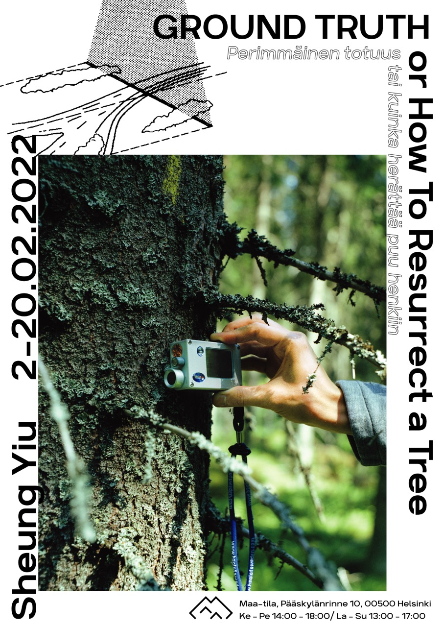
Ground Truth, or How To Resurrect a Tree
Sheung Yiu
2-20.02.2022
Ground Truth is a story about ‘seeing something when there is nothing there.’ Zoom into a digital image long enough, and one will eventually reach a pixel — the point where the camera can no longer resolve visual information. It is at the pixel where the story of perspectival seeing ends and the computational vision begins. Equipped with the power of computation, photography, and hyperspectral imaging, a group of scientists in Finland set out to overcome the spatial resolution limit of forest satellite imagery.
Observing the work of the research group from the perspective of a photographer, this project investigates cutting-edge imaging techniques of forests while looking back at photography’s love affair with natural landscapes. The project shed light on a new visuality in which the scientists move through multiple scales, from pine needles to the entire forest landscape, to infer information hidden underneath a pixel. The interdisciplinary dialogue on computational photography and hyperspectral imaging brought together two distinct ways of looking at the forest, one symbolized by the camera, another by the terrestrial laser scanner, to illustrate an algorithmic image system that increasingly escapes the human scale.
In everyday language, the term ground truth refers to a first-hand experience. Ground Truth connotes the documentary tradition and the act of witnessing. In remote sensing, however, ground truth relates to data collected on-site, which are then used to calibrate, to build models, to predict, to interpret, to decipher information from images, in this case, satellite images. Similarly, the collaboration reveals another operational layer of photography beyond the immediately visible, illustrating an expanded notion of photography in contemporary discourse. Using meticulous on‑site measurements of physical structures and spectral properties of trees, ‘ground truth’ data verify the performance of predicting models. Improvement in the interpretation model of satellite data enables remote sensing researchers to distinguish various forest features beyond what is shown optically on the image surface—in other words, resurrecting a tree underneath a pixel.
Ground Truth interweaves archival imagery, documentary photography, experiment dataset, and 3D digital art to demonstrate a complex image system composed of different mediums and scales. The constellation of materials contrasts the representational approach of drawing and photography with the data-oriented and algorithmic approach of computer-aided seeing. The parallel reading of the same landscape contextualizes an epistemological regime that emphasizes computational models rather than optical lenses. Ground Truth highlights the complexity of seeing in the age of algorithms, revealing new visualities unconstrained by the human body, spanning across multiple scales. What can we see when there is nothing there?
...
Special thanks to associate professor Miina Rautiainen and researcher Daniel Schraik, Aarne Hovi, and Petri Forsström from the research project “From needles to landscapes: a novel approach to scaling forest spectra” at Aalto University. A sincere thank you to Jarkko Sopanen and DD Ng for their assistance to bring this work to fruition.
The artist would like to thank Taike for supporting the exhibition, and Kone Foundation and Frame Contemporary Art Finland for funding the production of the photobook Ground Truth.

